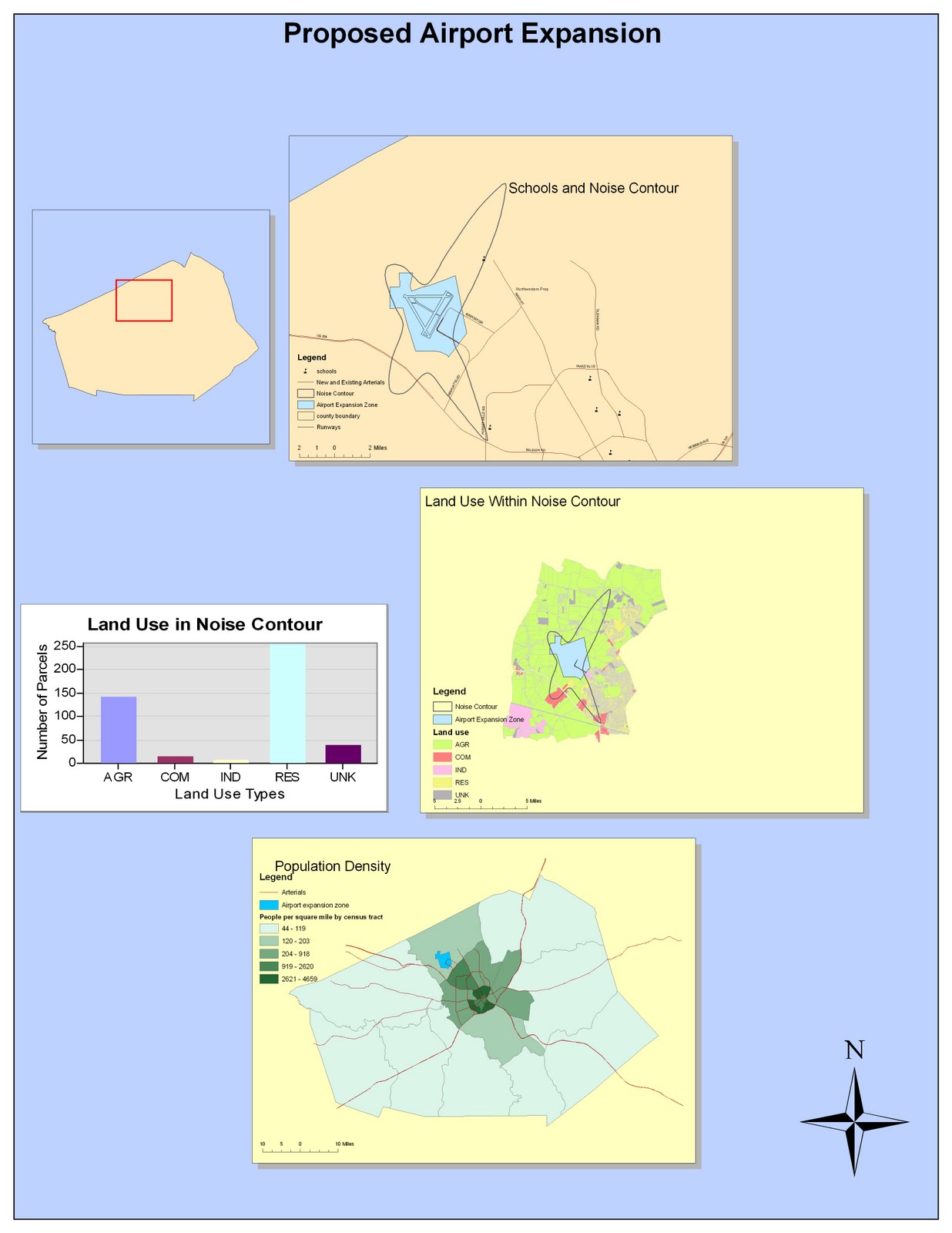
My experience with ArcMap was a struggle at first but I quickly adjusted to the format of the program. I struggled using the toolbars for the different portions of the tutorial. the first obstacle I ran into was getting the first noise contour map to fit in the 16 by 12 parameters. After I realized how to utilize the toolbar to adjust to this problem, I found the rest of the tutorial to be relatively easy. I can honestly say that without the tutorial, I would be completely lost on how to use ArcMap. Regardless, it was rewarding to utilize software that professional geographer's use on a faily basis. Although I created a very simple map, I still felt quite accomplished after finishing the entire tutorial. Making a map of the possible expansion of an airport made me realize the practical use of this technology and how it can better serve communities and society at large. I look forward to taking a more in depth look into this software.
I like the freedom I am given within ArcMap so that I can add some creativity to my map. There are various designs for compasses, scale bars, points and other elements within ArcMap. I could even change between various color schemes, which allowed me to further personalize my map. This lab showed me how amateur the "my map" feature on Google Maps was. Google maps only allows for visual representations, but doesn't allow the data input and personalization that ArcMap provides. Not only do I enjoy the creativity ArcMap gives me, but versatility too. I can calculate population density and other statistics. It's very useful for data calculations and translating numbers into visual representations. Also, the multilayer effect of ArcMap was useful because I could view different data separtely at my choosing.
The downfall of ArcGIS is that it's quite difficult to use and has a steep learning curve. I can honestly say that without the tutorial, I would be completely lost. Even going through the tutorial was difficult at first. It's definitely not as user-friendly as Google Maps. Considering it's so hard to use, it would be difficult to explain the map you created to someone unfamiliar with the technology. You would only be able to communicate your map's meaning to ArcGIS experts, as amateur map users would be severly confused by the intrinsic process of ArcMap.
Due to it's complexity, I feel like ArcGis will not be used universally or by users of differing neogeographical experience. It's primary market are geography experts who are experienced with it's capabilities. Therefore, ArcGis will never gain the mainstream popularity that Google Maps has, despite being more informative and interactive. Also, ArcGis cost money. No amateur map user would pay money to utilize ArcGis's advanced benefits when Google Maps will more than suffice for their needs. Thus, ArcMap simply can not exist in the universal market and will only be limited to use by experts in the field of geography.
No comments:
Post a Comment